Sep 15 2016
Research led by the National Centre of Earth Observation is going to new heights in the atmosphere to get a better handle on methane emitted from wetlands in the Amazon.
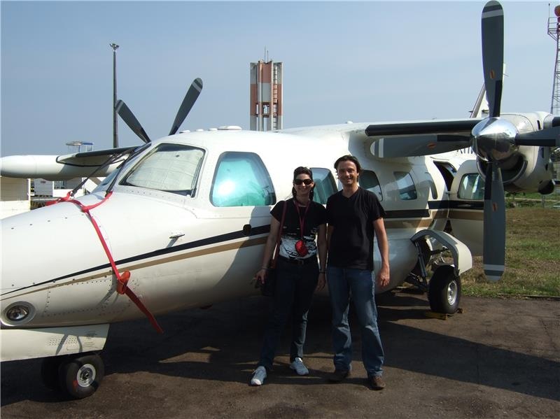
 The aircraft used for the profiling with Dr Hartmut Boesch (NCEO / University of Leicester) and Brazilian project partner Luciana Gatti (IPEN)
Using small aircraft flying in an upward spiral and collecting samples of the air, the team has measured the levels of methane in the atmosphere over the Amazon basin in unprecedented detail.
In the process they’ve shown the value of satellite measurements of methane for the region, paving the way for research that will keep better tabs on the greenhouse gas.
Methane is a potent greenhouse gas, second only to carbon dioxide in its contribution to global warming. Atmospheric concentrations of the gas have increased by 150% since the beginning of the industrial era. But the rise each year is quite variable and we don’t fully understand why.
PhD student and lead author Alex Webb explained: “A big problem has been that none of the models of methane wetland emissions agree with each other, and there’s limited data to compare them with except satellite datasets. The satellite remote sensing lacks quality checks in the Amazon, and is often hindered by cloud coverage.”
Researchers at the Brazilian Instituto de Pesquisas Energéticas e Nucleares (IPEN) have carried out aircraft measurements of methane at two sites in the Amazon since January 2013.
Alex said: “They used local air taxi operators flying a tiny plane in an upward spiral, who took flask samples of the air at 17 points going up to an altitude of 7 and a half kilometres. No-one’s gone up to these heights in the Amazon before, or published anything on these aircraft profiles. Going up so high makes quite a big difference in being able to see the variability of methane in the atmosphere.”
Dr Hartmut Boesch, who supervised the research, added: “This study paves the way toward exploitation of this satellite record for the Amazon region with confidence which should help us to develop a better understanding of tropical wetland emissions.”